Catalog Archive
Auction 202, Lot 115
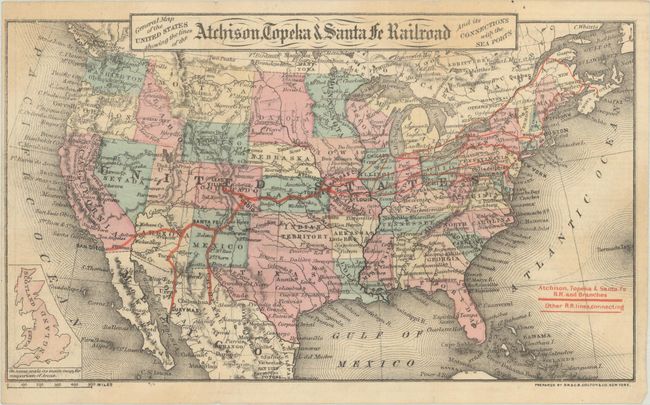
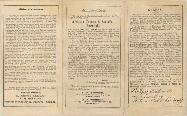
Unrecorded Colton Map Promoting Immigration to Kansas
"General Map of the United States Showing the Lines of the Atchison, Topeka & Santa Fe Railroad and Its Connections with the Sea Ports", Colton, G.W. & C.B.
Subject: United States
Period: 1879 (circa)
Publication:
Color: Hand Color
Size:
8.9 x 5.2 inches
22.6 x 13.2 cm
Download High Resolution Image
(or just click on image to launch the Zoom viewer)
(or just click on image to launch the Zoom viewer)