Catalog Archive
Auction 202, Lot 121
NO RESERVE
"Map Showing Location of the Indian Reservation Areas and Principal Highways Leading Thereto", U.S. Bureau of Indian Affairs
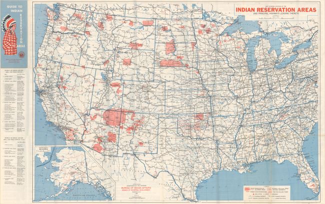
Subject: United States, Native Americans
Period: 1961 (dated)
Publication:
Color: Printed Color
Size:
42.3 x 29.6 inches
107.4 x 75.2 cm
Download High Resolution Image
(or just click on image to launch the Zoom viewer)
(or just click on image to launch the Zoom viewer)