Subject: Eastern United States
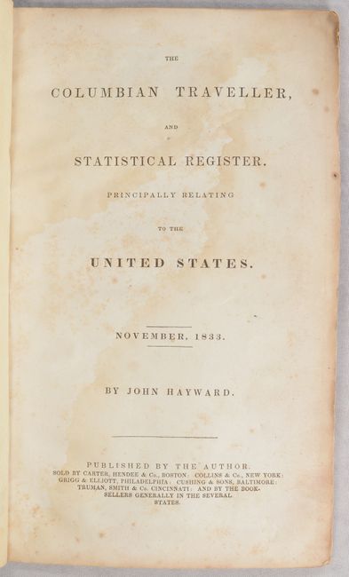
Period: 1833 (published)
Publication:
Color: Hand Color
Size:
6.5 x 10.8 inches
16.5 x 27.4 cm
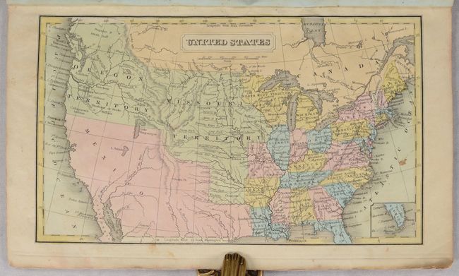
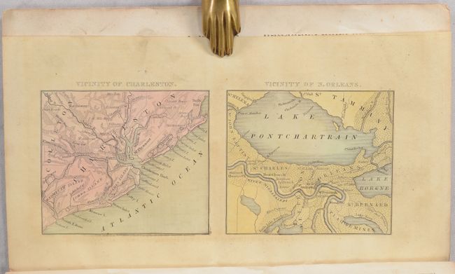
This scarce early statistical booklet focuses on the young United States. It is dated November 1833 and appears to be the only year it was published. The 40 pages of text includes descriptions of each state and territory with a focus on early railroads and canals. It features a frontispiece single-page map of the United States showing a North West Territory comprising eastern Minnesota, Wisconsin and the upper peninsula of Michigan, a huge Missouri Territory extending to the Rocky Mountains, and Oregon Territory that extends into present-day British Columbia reflecting U.S. interests in the region. Also included are 6 small city plans (on three sheets) of Boston, New York, Philadelphia, Baltimore/Washington, Charleston and New Orleans by G.W. Boynton. Hardbound in quarter leather over stiff paper boards.
References: Howes #H-353; Sabin #31067.
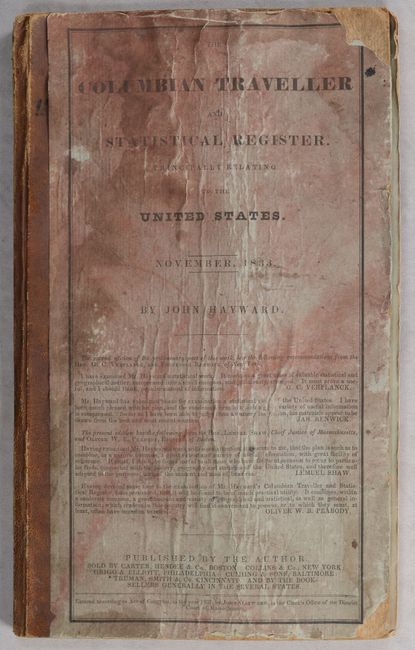
Condition: B
Maps are good to very good with some light toning and a few spots of foxing. Text has light dampstaining throughout. Front cover is stained and worn at the edges.