Subject: Eastern United States
Period: 1914 (dated)
Publication:
Color: Printed Color
Size:
11.1 x 20 inches
28.2 x 50.8 cm
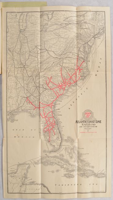
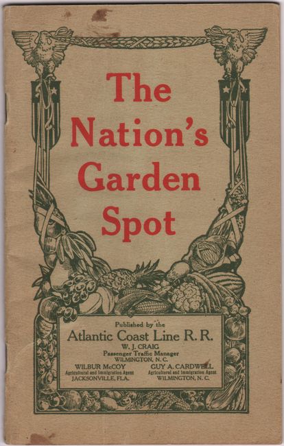
This promotional brochure for the Atlantic Coast Rail Road features a folding map showing the company's double-track lines in red overprinting extending from Richmond to points south including Charleston, Savannah, Jacksonville, and Ft. Myers. Ferry service is also indicated on the map, with routes from New York, Norfolk, Jacksonville to the Bahamas, Cuba and Mexico. Accompanying the map is 48 pages of promotional text and full-page photographic illustrations describing this "Garden Spot," where "the fertile soils, equable climate, cheap lands, school and church privileges of of the Atlantic Coast Line territory meet all the conditions necessary in selecting a new home." Not listed in OCLC. Decorative paper wrappers (5 x 8").
References:
Condition: B+
The folding map has a hint of toning and a few small spots of foxing. Text is mostly clean with a few minor creases. Front wrapper has a couple of small stains.