Catalog Archive
Auction 202, Lot 145
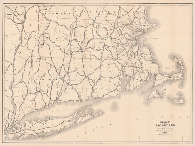
"Map of the Railroads of the State of Massachusetts...", Rand, Avery & Co.
Subject: New England United States
Period: 1874 (dated)
Publication:
Color: Black & White
Size:
38 x 28 inches
96.5 x 71.1 cm
Download High Resolution Image
(or just click on image to launch the Zoom viewer)
(or just click on image to launch the Zoom viewer)