Subject: Mid-Atlantic United States, American Revolution
Period: 1786 (published)
Publication:
Color: Black & White
Size:
10.8 x 7.2 inches
27.4 x 18.3 cm
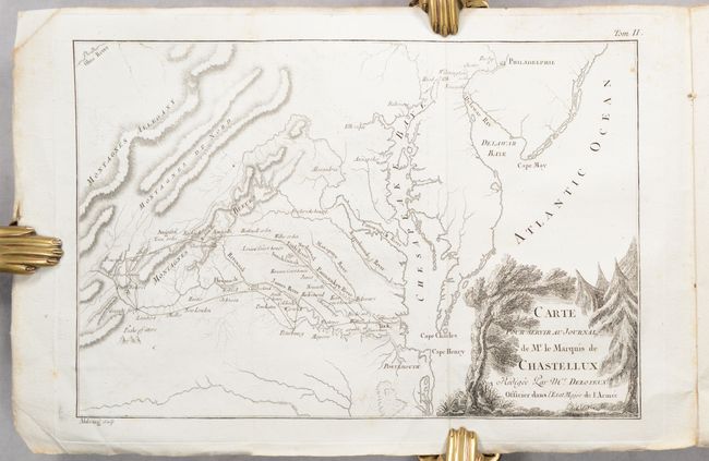
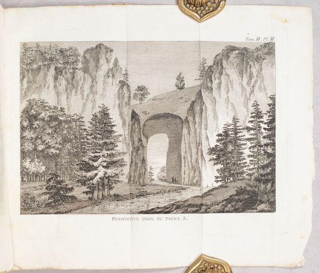
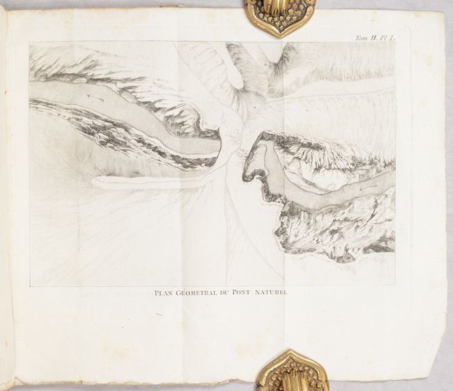
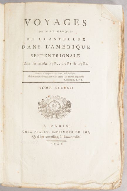
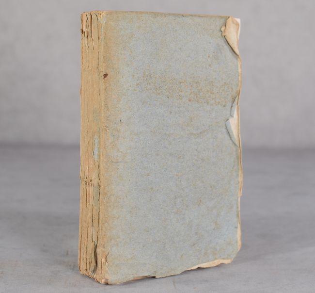
This is the second volume only of Chastellux's Voyages dans l'Amerique dans les Annees 1780, 1781 et 1782. This work provided a first-hand perspective of the American Revolution and is one of the great contemporary Revolutionary War accounts. The Marquis de Chastellux was one of the forty members of the French Academy and a Major General in the French army in the late 1700s. He served under the Count de Rochambeau and joined forces with General Washington in the famous march on Yorktown that led to Cornwalis' surrender. This volume features a frontispiece map of the Mid-Atlantic region, extending from the Chesapeake and Delaware bays to the Allegheny Mountains. It traces Chastellux's route from Williamsburg to Thomas Jefferson's Monticello (Charlottesville), over the Blue Ridge Mountains, south to Natural Bridge, and back to Williamsburg. It names several courthouses, individual property owners, rivers, and more. The volume also includes 3 folding plates illustrating Natural Bridge from different perspectives. 362 pages. Text is uncut with deckled edges and paper wrappers.
References: Howes #C-324.
Condition: B+
Contents, including the folding map and plates, are mostly clean and bright with an occasional spots of foxing. Text is uncut with deckled edges. Paper wrappers are chipped and soiled and the spine backing has nearly perished.