Catalog Archive
Auction 202, Lot 166
"Map of the States of Alabama, and Georgia", Hinton, Simpkin & Marshall
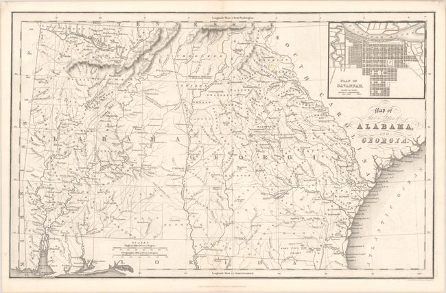
Subject: Alabama & Georgia
Period: 1831 (dated)
Publication: The History and Topography of the United States
Color: Black & White
Size:
15.8 x 10 inches
40.1 x 25.4 cm
Download High Resolution Image
(or just click on image to launch the Zoom viewer)
(or just click on image to launch the Zoom viewer)