Catalog Archive
Auction 202, Lot 168
"America Septentrional. Costa Este. Hoja III. Georgia y Carolina del Sur, Desde Savannah Hasta Cabo Fear... ", Direccion de Hidrografia
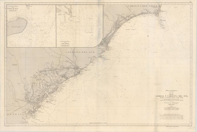
Subject: Carolinas & Georgia Coast
Period: 1868 (dated)
Publication:
Color: Black & White
Size:
36.4 x 23.9 inches
92.5 x 60.7 cm
Download High Resolution Image
(or just click on image to launch the Zoom viewer)
(or just click on image to launch the Zoom viewer)