Subject: Ohio & Mississippi Rivers
Period: 1824 (published)
Publication:
Color: Black & White
Size:
4.3 x 7.3 inches
10.9 x 18.5 cm
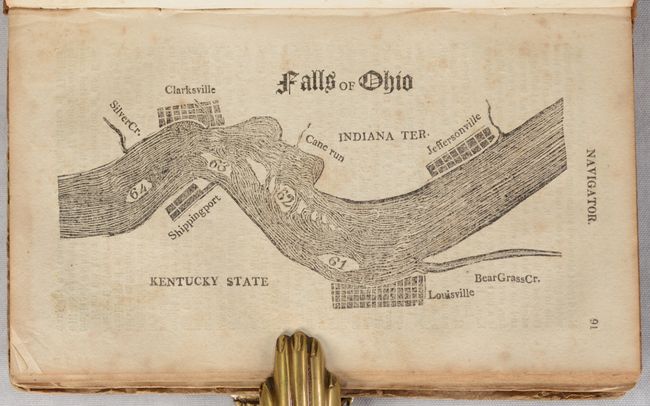
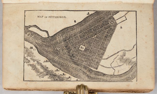
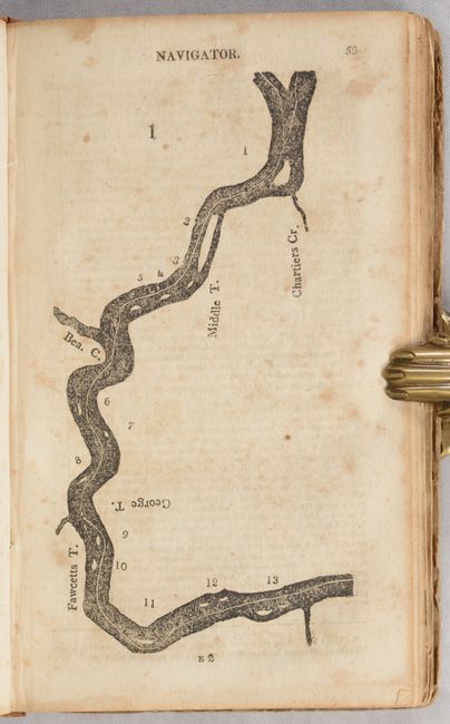
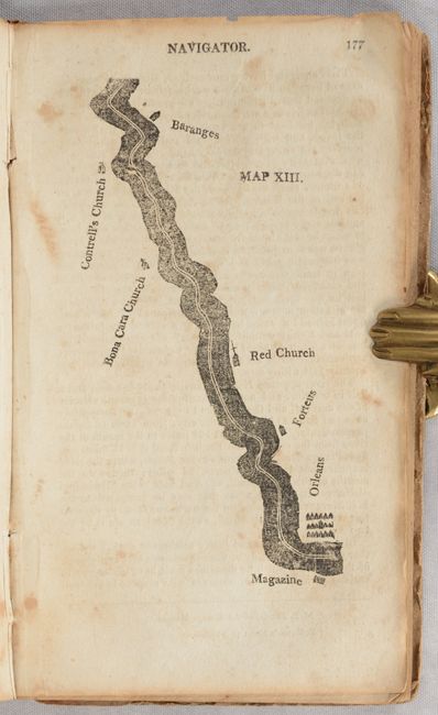
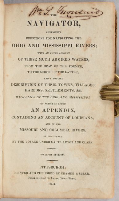
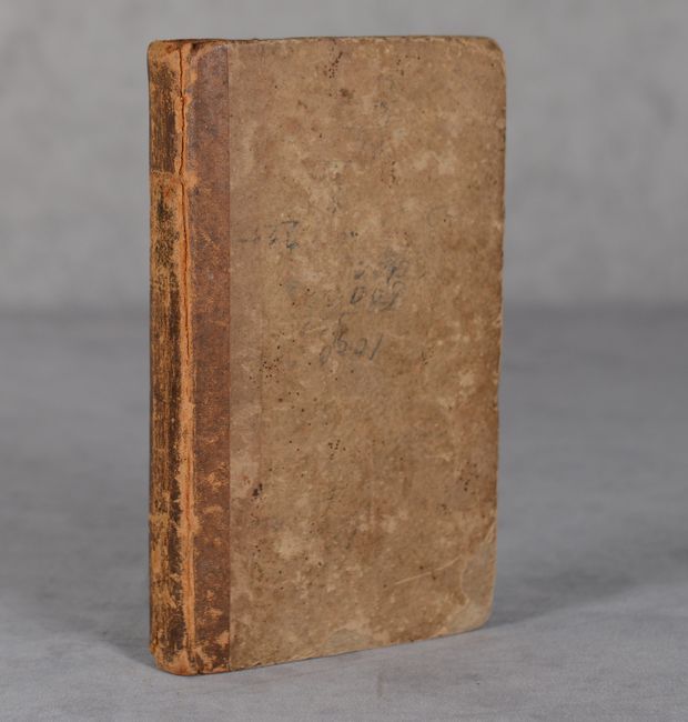
This is the twelfth edition of this pilot guide for the Ohio and Mississippi rivers, published by Cramer & Spear in Pittsburgh. The author notes in the advertisement that "at a very considerable expense, the maps of the Ohio and Mississippi rivers have been added; and we flatter ourselves with the hope, that they will be found as useful to the navigator, as they have been troublesome to us." This complete volume features 13 maps spanning the course of the Ohio River from Pittsburgh to its mouth, along with another 13 maps from the confluence of the Ohio/Mississippi rivers to New Orleans. Each of these maps is accompanied by text describing river course, topographical features, and mileages along the route. The guide also includes a small plan of Pittsburgh and a "Falls of Ohio" plate with small plans for Louisville, Jeffersonville, and more. Howes notes that this was the "most widely used guide to western waters in the early period, both before and after the application of steam in 1807." 275 pages. Hardbound in contemporary quarter calf over paper boards.
References: Howes #C-855; Sabin #17386.
Condition: B
Contents are good with scattered foxing throughout. Map #4 of the Ohio River has a 3" edge tear at right. A few pages are somewhat loose but the binding is otherwise fairly tight. Signature at top of title page. Covers and spine are worn with a few pencil notations on the front board.