Catalog Archive
Auction 202, Lot 204
"Map of Los Angeles Hollywood Pasadena Glendale Santa Monica Alhambra Huntington Park Inglewood Beverly Hills and Adjacent Cities"
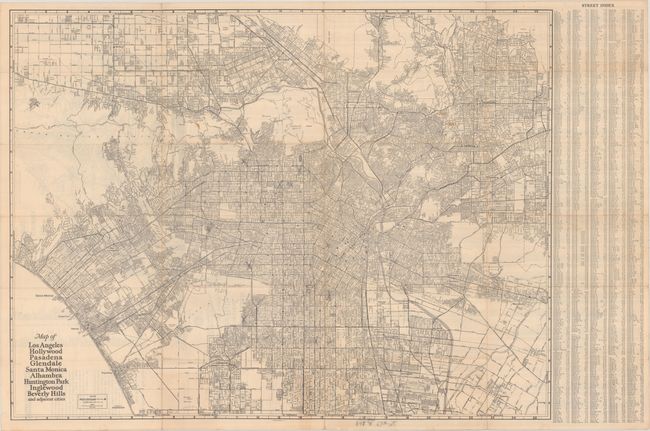
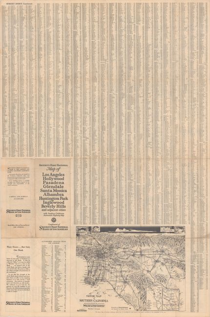
Subject: Los Angeles, California
Period: 1925 (circa)
Publication:
Color: Black & White
Size:
30.2 x 22.9 inches
76.7 x 58.2 cm
Download High Resolution Image
(or just click on image to launch the Zoom viewer)
(or just click on image to launch the Zoom viewer)