Catalog Archive
Auction 202, Lot 211
NO RESERVE
"Johnson's Florida", Johnson, A. J.
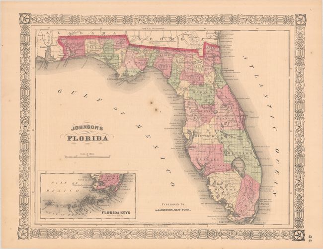
Subject: Florida
Period: 1863 (dated)
Publication:
Color: Hand Color
Size:
15.3 x 12.1 inches
38.9 x 30.7 cm
Download High Resolution Image
(or just click on image to launch the Zoom viewer)
(or just click on image to launch the Zoom viewer)