Subject: Eastern Massachusetts
Period: 1902 (circa)
Publication:
Color: Printed Color
Size:
21.1 x 12.6 inches
53.6 x 32 cm
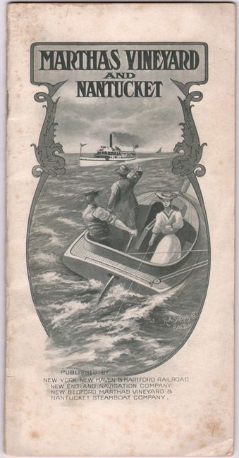
This simple map covers eastern Massachusetts, with the most detail shown in Martha's Vineyard and Nantucket. It was published by New York, New Haven, and Hartford Railroad, New England Navigation Company, and New Bedford, Martha's Vineyard & Nantucket Steamboat Company. Outside of the islands, detail is confined to cities and transportation routes. Boston, Attleboro, Fall River, Taunton, Buzzards Bay, Chatham, and Provincetown are named, and the map extends to include Newport and Providence as well. Steamboat routes and lighthouses are identified. Map folds into back cover of 16-page booklet with the title "Martha's Vineyard and Nantucket," featuring information and black & white photos (4.1 x 8.1").
References:
Condition: A
Issued folding on a clean bright sheet, which was trimmed close at top left by the binder. The booklet's covers are lightly foxed and soiled.


