Catalog Archive
Auction 202, Lot 234

"A New Map of Missouri with Its Roads & Distances", Tanner, Henry Schenck
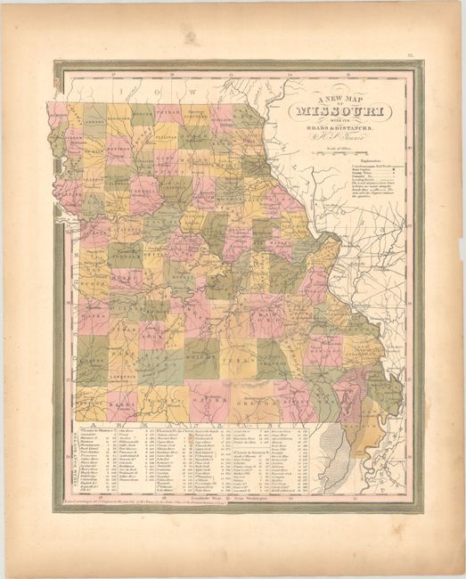
Subject: Missouri

Period: 1841 (dated)

Publication: New Universal Atlas...

Color: Hand Color

Size:
11.4 x 13.8 inches
29 x 35.1 cm
Download High Resolution Image
(or just click on image to launch the Zoom viewer)

This early atlas map of Missouri depicts counties, roads, railroads, canals, and settlements. County configuration is current to about 1843 with the additions of several counties along the northern border with Iowa including Atchison, Nodaway, and Harrison to name a few. Tables at bottom display the distances along various steamboat routes from St. Louis to Shawnee, Prairie du Chien, and the Kansas River. Surrounded by a decorative border.

References:

Condition: B+

Full contemporary color with light toning and minor soiling in the margins. There is a small chip in the far right blank margin.

Estimate: $140 - $170

Sold for: $85

Closed on 2/12/2025

Archived