Subject: New York City, New York
Period: 1926 (circa)
Publication:
Color: Printed Color
Size:
16.1 x 22.3 inches
40.9 x 56.6 cm
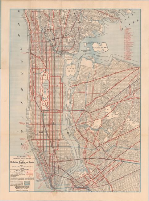
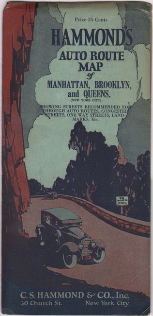
A detailed traffic map of Manhattan extending to include portions of Brooklyn and Queens. The map identifies congested streets to avoid between 8:00 a.m. and 7:00 p.m. (Riverside Drive, Fifth Avenue, Brooklyn Bridge) and recommended through routes (Tenth Avenue, First Avenue, Manhattan Bridge). 39 points of interest are also located on the map including the “Madison Square Garden (New Building)” completed in 1926 (used to date the map). The 1920s saw a rapid increase in the number of vehicles in New York City, estimated at about 600,000 in 1925, competing for space with horse drawn carriages and wagons on the city’s narrow and already congested streets. This map was clearly intended for commercial sale with a price of 35 cents on the cover, however, we found no past sales records or institutional examples on OCLC.
References:
Condition: B+
Issued folding with a couple of small stains at bottom. Wrappers have minor wear.