Catalog Archive
Auction 202, Lot 243

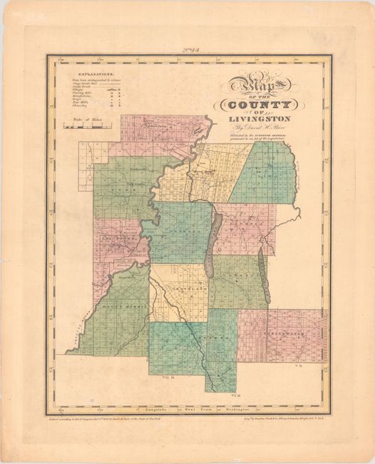
"Map of the County of Livingston", Burr, David H.
Subject: Livingston, New York

Period: 1829 (dated)

Publication: An Atlas of the State of New York

Color: Hand Color

Size:
12.1 x 15.2 inches
30.7 x 38.6 cm
Download High Resolution Image
(or just click on image to launch the Zoom viewer)

This very early county map was published in the second atlas covering an individual state ever published (it was only preceded by Robert Mills's Atlas of South Carolina from 1825). The county is bisected by the Genessee River and includes Conesus and Hemlock lakes. The map illustrates townships, stage roads, county roads, villages, flourmills, factories, forges, sawmills, and churches.

References: Phillips (Atlases) #2206; Rumsey #0103.043.

Condition: B+

Full contemporary color with light foxing, minor toning, and short edge tears that are confined to the margins.

Estimate: $110 - $140

Unsold

Closed on 2/12/2025

Archived