Catalog Archive
Auction 202, Lot 25

"Chart of the World on Mercator's Projection", Lizars, Daniel
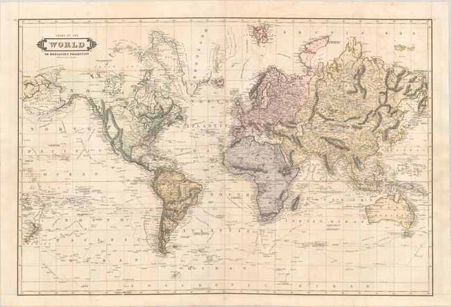
Subject: World

Period: 1825 (circa)

Publication:

Color: Hand Color

Size:
31.5 x 21.1 inches
80 x 53.6 cm
Download High Resolution Image
(or just click on image to launch the Zoom viewer)

This impressive world map emphasizes the tracks of explorers and circumnavigators including Columbus, Cook, Tasman, Furneaux, Parry, and Captain Weddel's exploration of Antarctica in 1823. There is excellent detail of the many islands in the South Pacific and New Zealand is well-delineated. In North America, the United States is confined to east of the Mississippi River and Indian lands are identified farther west. The middle of South America is "Mostly Unknown" while a remnant of the mythical Parima L still persists.

References:

Condition: B+

Issued folding and now flat with light offsetting.

Estimate: $325 - $400

Sold for: $250

Closed on 2/12/2025

Archived