Subject: Dallas, Texas
Period: 1936 (dated)
Publication:
Color: Printed Color
Size:
21.4 x 28.3 inches
54.4 x 71.9 cm
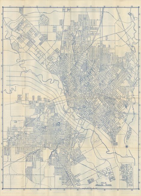
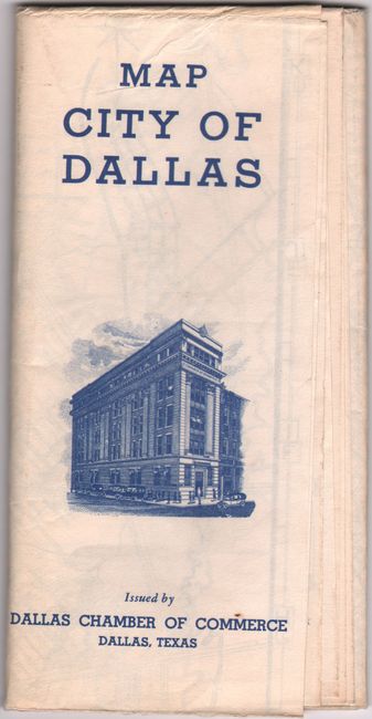
A detailed street map printed in blue ink extending from Love Field in the north to Kiest Park and Cedar Crest Country Club in the south. Locates roads, railroads, rivers, parks, cemeteries and more. A small inset map at bottom right continues the southern portion of the main map to include Lisbon Acres, Bellevue and Glendale Acres subdivisions. The verso features a street index and extensive text on sightseeing, golf courses, parks and highways. At the time Dallas’ population was about 280,000. Self-folding (4 x 7.7"). Published by the Dallas Chamber of Commerce. OCLC locates two copies (Yale and the University of Chicago).
References:
Condition: A
Issued folding on a clean bright sheet with minor creasing adjacent to the lower fold.