Catalog Archive
Auction 202, Lot 27
"The World on Mercators Projection", Philip, George
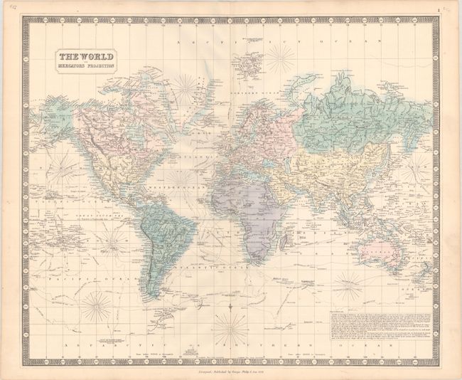
Subject: World
Period: 1852 (dated)
Publication:
Color: Hand Color
Size:
24 x 20.2 inches
61 x 51.3 cm
Download High Resolution Image
(or just click on image to launch the Zoom viewer)
(or just click on image to launch the Zoom viewer)