Catalog Archive
Auction 202, Lot 272
"Mexico", Arrowsmith, Aaron, Jr.
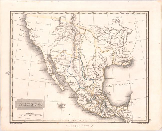
Subject: Western United States & Mexico
Period: 1823 (dated)
Publication: A New General Atlas…
Color: Hand Color
Size:
9.9 x 7.9 inches
25.1 x 20.1 cm
Download High Resolution Image
(or just click on image to launch the Zoom viewer)
(or just click on image to launch the Zoom viewer)