Subject: Mexico, Atlas
Period: 1899 (published)
Publication:
Color: Printed Color
Size:
8 x 12.1 inches
20.3 x 30.7 cm
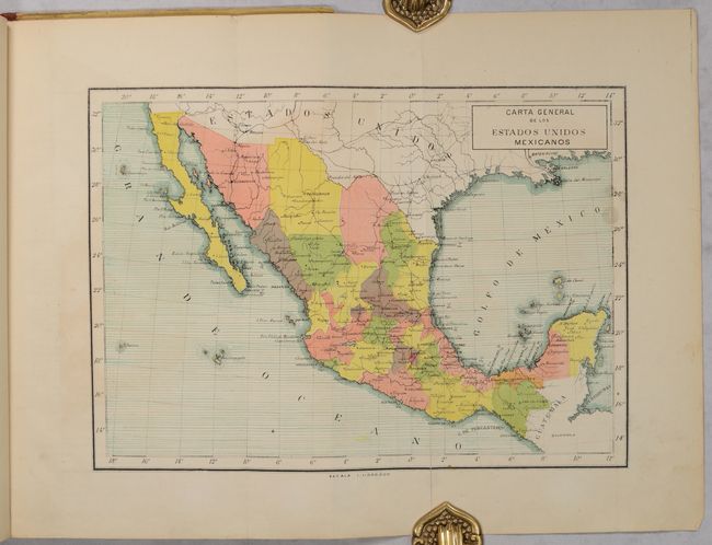
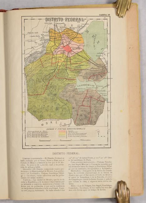
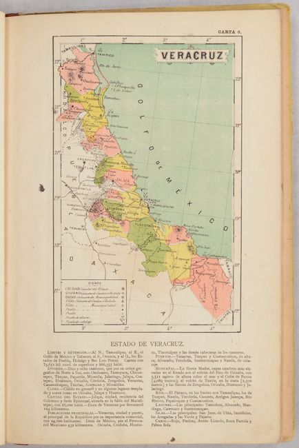
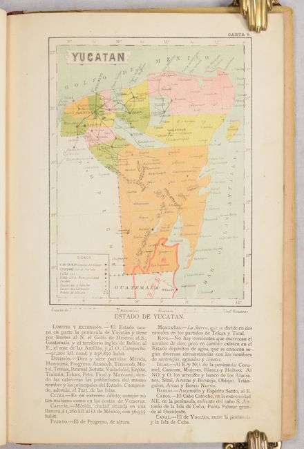
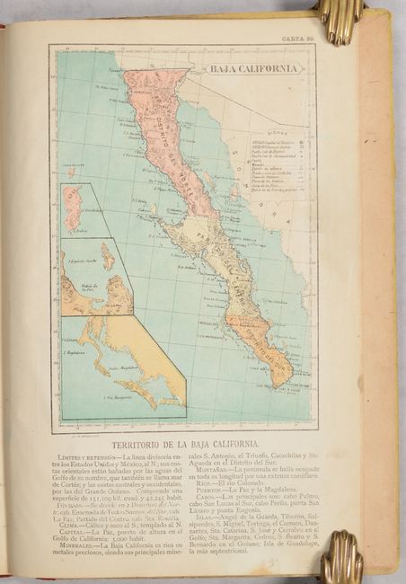
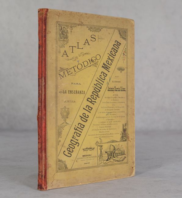
This scarce Mexican school atlas was published to assist in the teaching of geography. It features an index map entitled Carta General de los Estados Unidos Mexicanos (12.4 x 8.7") and is accompanied by 30 single-page maps of the various states. The maps locate cities, towns, ranches, railroads, mines, and more while flanking text describes physical boundaries, political divisions, topography, and resources. Printed by Eduardo Murguia in Mexico City. Hardbound in quarter leather over pictorial paper boards.
References: Rumsey #2850.
Condition: B+
Condition code is for the maps, which are very good with light toning, occasional light color offsetting, and some surface soiling mostly along the sheet edges. The folding index map has an archivally repaired fold separation that extends 2.25" into the image. Binding is detached from the text block, which is still intact. Covers are moderately soiled and rubbed along the edges.