Catalog Archive
Auction 202, Lot 305
Priced reduced by $25
"Carta Rappresentante l'Isola della Giammaica", Rossi, Veremondo
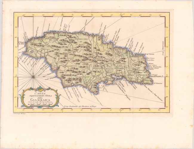
Subject: Jamaica
Period: 1763 (circa)
Publication: Il Gazzettiere Americano...
Color: Hand Color
Size:
12.5 x 8.1 inches
31.8 x 20.6 cm
Download High Resolution Image
(or just click on image to launch the Zoom viewer)
(or just click on image to launch the Zoom viewer)