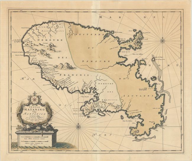
Subject: Martinique
Period: 1685 (circa)
Publication:
Color: Hand Color
Size:
22.1 x 18.2 inches
56.1 x 46.2 cm
This handsome map of Martinique shows the island divided into two parts denoting the western region occupied by the French and the eastern region labeled Cabesterre ou Demeure des Sauvages (dwelling of the savages). There is good coastal detail in the west but little information presented for the eastern Sauvages part of the island. The remarkable title cartouche features floral wreaths, a compass rose and fleur-de-lis above a large monument-style base that includes the mileage scale. The map is embellished with a fancy compass rose and interesting rhumb lines that use a dotted pattern in addition to the typical ruled line.
References:
Condition: B
Contemporary color on a sheet that has been fully backed with tissue to repair a 5.5" centerfold separation and several related tears that extends out from the centerfold. A couple of small tears near "Cabesterre" were previously repaired with old tape which has since been removed, with some minor tape stains visible on recto.