Catalog Archive
Auction 202, Lot 319
NO RESERVE
"Carta Esatta Rappresentante l'Isola di Granata", Rossi, Veremondo
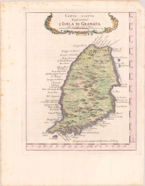
Subject: Grenada
Period: 1763 (circa)
Publication: Il Gazzettiere Americano...
Color: Hand Color
Size:
7.3 x 9.1 inches
18.5 x 23.1 cm
Download High Resolution Image
(or just click on image to launch the Zoom viewer)
(or just click on image to launch the Zoom viewer)