Catalog Archive
Auction 202, Lot 331
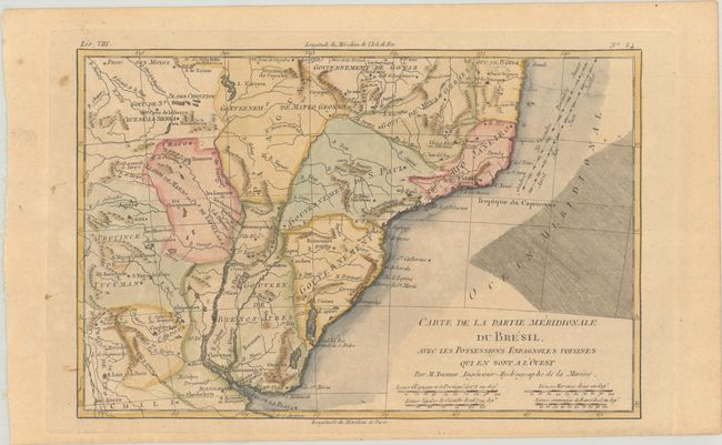
"Carte de la Partie Meridionale du Bresil, avec les Possessions Espagnoles Voisines qui en sont a l'Ouest", Bonne, Rigobert
Subject: Southern Brazil
Period: 1780 (circa)
Publication: Atlas de Toutes les Parties Connues du Globe Terrestre
Color: Hand Color
Size:
12.6 x 8.3 inches
32 x 21.1 cm
Download High Resolution Image
(or just click on image to launch the Zoom viewer)
(or just click on image to launch the Zoom viewer)