Catalog Archive
Auction 202, Lot 349
"Karte der Magellanischen Strasse von Herrn Don Iuan de la Cruz Cano y Olmedillo Mitglied der Ferdinandischen Akademie zu Madrit 1769...", Schraembl, Franz Anton
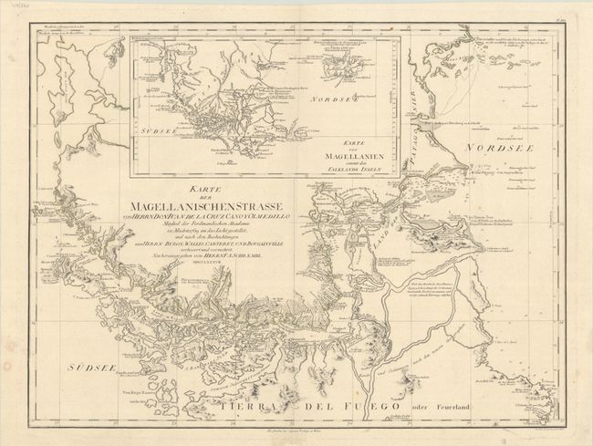
Subject: Strait of Magellan
Period: 1787 (dated)
Publication:
Color: Hand Color
Size:
26.9 x 20.3 inches
68.3 x 51.6 cm
Download High Resolution Image
(or just click on image to launch the Zoom viewer)
(or just click on image to launch the Zoom viewer)