Catalog Archive
Auction 202, Lot 355
"Carte Reduite des Mers du Nord", Bellin, Jacques Nicolas
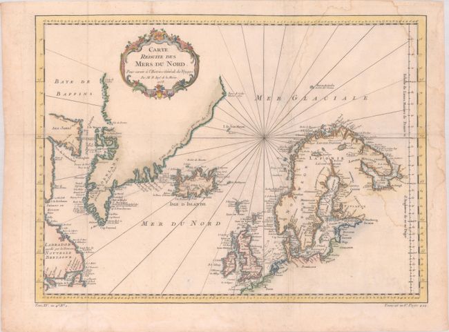
Subject: North Atlantic & Arctic Ocean
Period: 1758 (dated)
Publication: Histoire Generale des Voyages
Color: Hand Color
Size:
17.7 x 13 inches
45 x 33 cm
Download High Resolution Image
(or just click on image to launch the Zoom viewer)
(or just click on image to launch the Zoom viewer)