Catalog Archive
Auction 202, Lot 363
"Angleterre Ecosse et Hibernie", Tassin, Christophe Nicholas
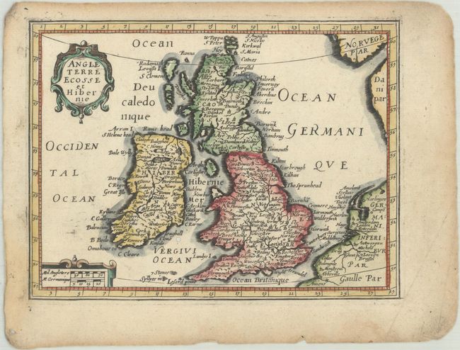
Subject: Britain
Period: 1651 (published)
Publication: Carte Generalle de la Geographie Royalle
Color: Hand Color
Size:
6.9 x 5.3 inches
17.5 x 13.5 cm
Download High Resolution Image
(or just click on image to launch the Zoom viewer)
(or just click on image to launch the Zoom viewer)