Catalog Archive
Auction 202, Lot 368
"Episcopatus Dunelmensis Vulgo the Bishoprike of Durham", Blaeu, Johannes
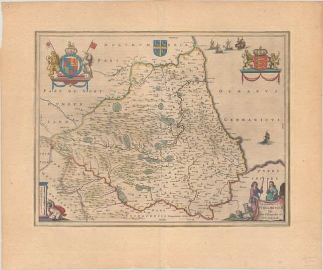
Subject: Northern England
Period: 1646 (circa)
Publication:
Color: Hand Color
Size:
19.6 x 15 inches
49.8 x 38.1 cm
Download High Resolution Image
(or just click on image to launch the Zoom viewer)
(or just click on image to launch the Zoom viewer)