Catalog Archive
Auction 202, Lot 371
"Salopiensis Comitatus cum Staffordiensi. Shropshire & Staffordshire", Jansson, Jan
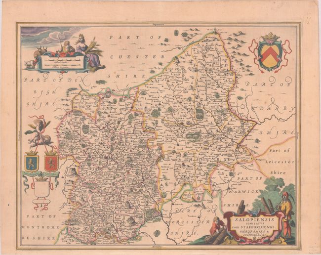
Subject: Western England
Period: 1680 (circa)
Publication:
Color: Hand Color
Size:
20.9 x 16.8 inches
53.1 x 42.7 cm
Download High Resolution Image
(or just click on image to launch the Zoom viewer)
(or just click on image to launch the Zoom viewer)