Subject: England & Wales, Atlas
Period: 1812 (circa)
Publication:
Color: Hand Color
Size:
4.3 x 5.9 inches
10.9 x 15 cm
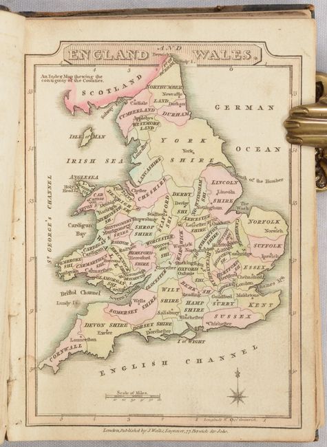
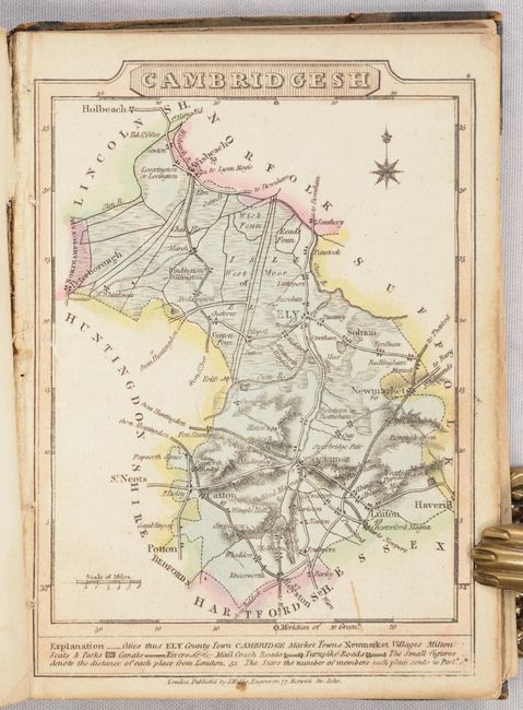
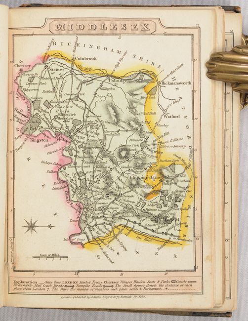
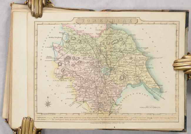
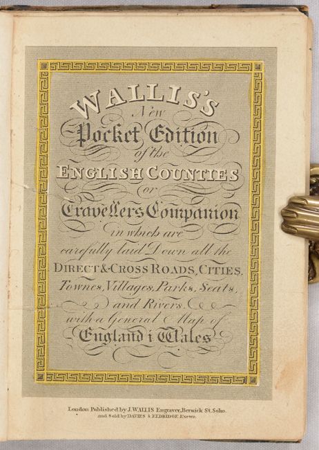
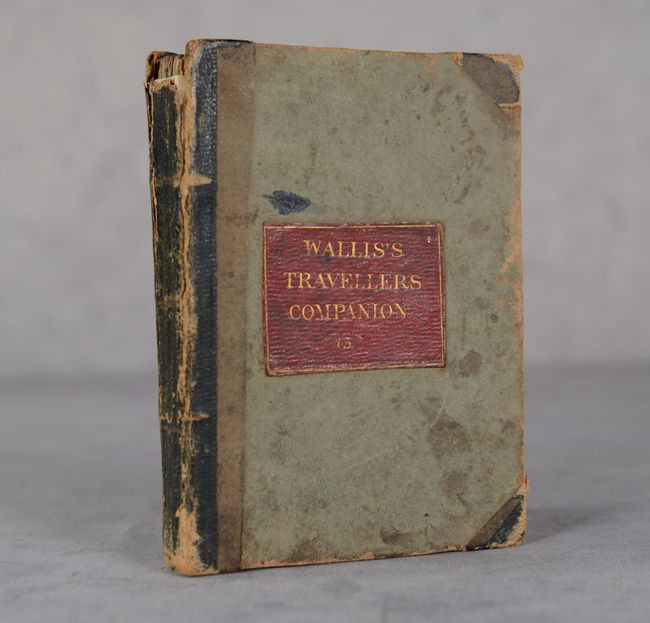
This pocket atlas is complete with 43 maps in full contemporary color, including a map of England & Wales and 42 county maps (Yorkshire is the only double-page map). The maps are based upon earlier works by John Cary and locate market towns, towns, villages, rivers, coach roads, turnpike roads, distances between places, and more. Each has its own compass rose, distance scale, and title incorporated into the border. The author notes that "every attention has been paid to Engrave the Plates in a superior manner, and it is hoped this work will be found the best of the kind at present published." Contents call for 42 maps, but the present example has an additional map of the Isle of Wight at the end of the volume. Hardbound in quarter leather with tips over paper boards with title label pasted on the front cover. Price marked 15 shillings.
References: King (3rd edition) 1812a James Wallis.
Condition: B+
Condition code is for the maps, which have full contemporary color with some minor soiling mostly along the sheet edges. The maps of Cornwall and Devonshire each have a tiny tear along the right sheet edge. The binding is very loose with six maps near the back detached, as well as the title page and front free endpaper. A former owner's signature is on the front endpaper and stenciled on the front pastedown. Covers are starting and are worn and stained. Spine is chipped at top.