Subject: England & Wales
Period: 1830 (circa)
Publication:
Color: Hand Color
Size:
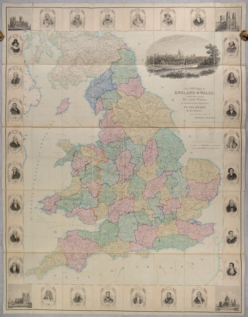
37.8 x 49 inches
96 x 124.5 cm
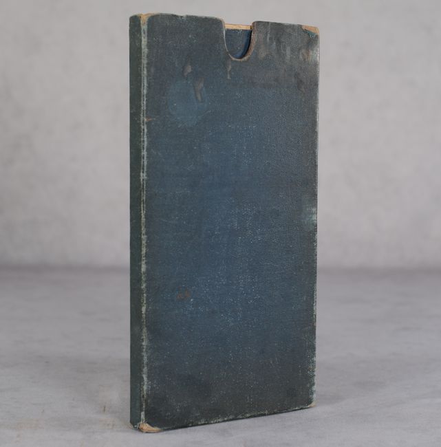
This sumptuous steel engraved map of Britain is hand-colored by county and is densely filled with detail including cities, towns, market towns, roads, railroads, canals, parks and much more. It extends north to include parts of southern Scotland and west to include the Isle of Man and eastern coast of Ireland. Surrounding the map image are various key figures in British history including those from the military ranks, statesmen, philosophers and literary heroes including Shakespeare, Burns, Locke, Cornwallis, Bacon, Raleigh, and more. The corners are filled with notable churches/cathedrals including Canterbury, York, St. Paul's and Westminster Abbey. Above the title cartouche is an attractive view of Windsor Castle. Engraved by J. & C. Walker. Folds into a blue cloth slipcase.
References:
Condition: B+
Contemporary color on a sheet that has been dissected and backed with linen. There is some mild toning and staining along the edges and a few small areas along the folds. Slipcase has some light staining and wear along the edges.