Catalog Archive
Auction 202, Lot 39

NO RESERVE

"Old Map of the Continent According to the Greatest Diamterical Length from the Point of East Tartary to the Cape of Good Hope", Gibson, John

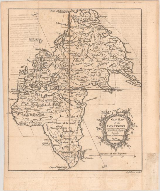
Subject: Eastern Hemisphere

Period: 1758 (published)

Publication: Gentleman's Magazine

Color: Black & White

Size:
7.1 x 8.4 inches
18 x 21.3 cm
Download High Resolution Image
(or just click on image to launch the Zoom viewer)

This map presents a very interesting and unusual projection with north oriented to the top left. The map depicts political boundaries, place names, and basic topography. According to Jolly, the binder’s instructions note the error in the title which should be A Map of the Old Continent… instead of Old Map of the Continent. The map was intended to be included in the December 1758 issue, but was included in the supplement. Decorated by a rococo style title cartouche.

References: Jolly #GENT-121; Norwich #81.

Condition: B+

A nice impression, issued folding, with light offsetting from an opposing page of text. A binding trim in the bottom right margin has been replaced with old paper, and a tiny associated tear that just crosses the neatline has been archivally repaired on verso.

Estimate: $60 - $80

Sold for: $41

Closed on 2/12/2025

Archived