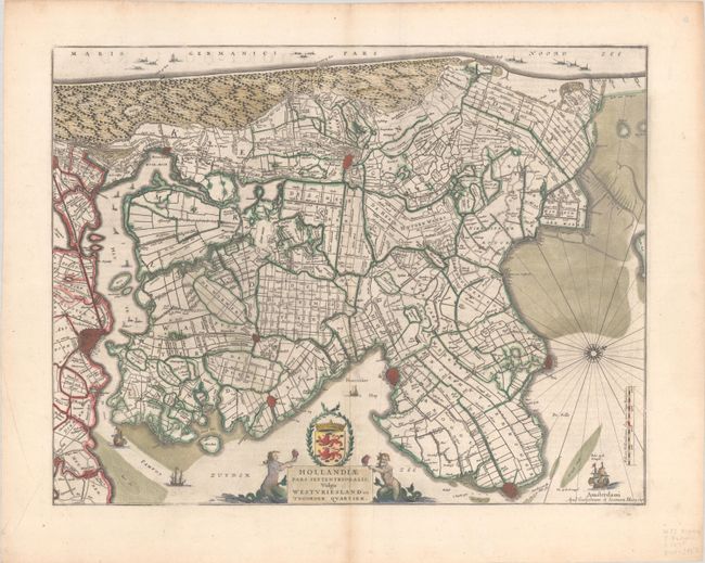
Subject: Western Netherlands
Period: 1641 (dated)
Publication:
Color: Hand Color
Size:
19.6 x 15.1 inches
49.8 x 38.4 cm
This detailed map covers the region north of Amsterdam, including the fortified cities of Edam, Hoorn, Enkhuizen, Medemblik, Alkmaar and Beverwijk. There is excellent detail of the roads and canals throughout the area. This is the second state with the Schermeer and the Heerhugowaard engraved with roads and canals. The title cartouche is flanked with merfolk and supports a coat of arms. Dutch text on verso, published between 1647-64.
References: Van der Krogt (Vol. II) #3407:2.
Condition: A
A nice impression on a bright sheet with minor offsetting and a soft crease adjacent to the centerfold. There is a hint of toning along the centerfold and light soiling along the edges of the sheet.