Catalog Archive
Auction 202, Lot 424
Full Contemporary Color
"Leodiensis Episcopatus in Omnes Subjacentes Provincias Distincte Divisus", Visscher, Nicolas
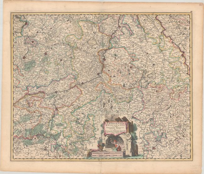
Subject: Eastern Belgium & Western Germany
Period: 1680 (circa)
Publication:
Color: Hand Color
Size:
22.2 x 18.2 inches
56.4 x 46.2 cm
Download High Resolution Image
(or just click on image to launch the Zoom viewer)
(or just click on image to launch the Zoom viewer)