Catalog Archive
Auction 202, Lot 425
"Comitatus Namurcensis cum Locis Ejusdem Munitioribus ac Regionib Finitimis ex Observationibus Recentissimis Accuratissime Designatus...", Lotter, Tobias Conrad
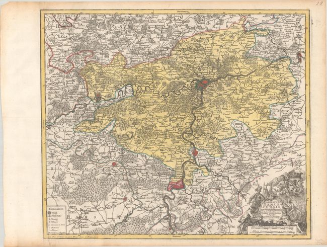
Subject: Southern Belgium
Period: 1770 (circa)
Publication:
Color: Hand Color
Size:
22.6 x 19.4 inches
57.4 x 49.3 cm
Download High Resolution Image
(or just click on image to launch the Zoom viewer)
(or just click on image to launch the Zoom viewer)