Catalog Archive
Auction 202, Lot 434
"Limburgi Ducatus et Comitatus Valckenburgi Nova Descriptio", Visscher/Schenk
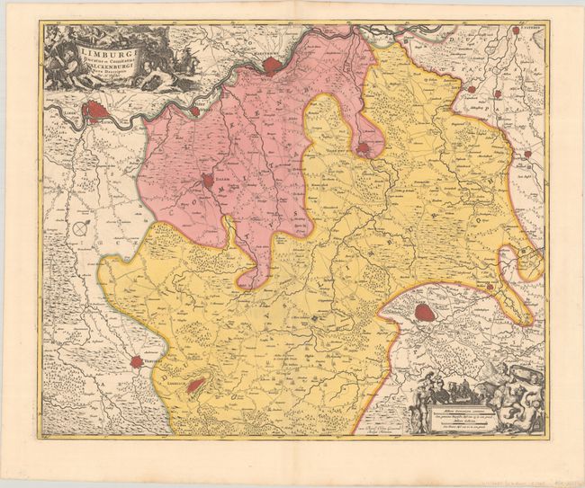
Subject: Eastern Belgium & Southern Netherlands
Period: 1700 (circa)
Publication:
Color: Hand Color
Size:
22.2 x 18.3 inches
56.4 x 46.5 cm
Download High Resolution Image
(or just click on image to launch the Zoom viewer)
(or just click on image to launch the Zoom viewer)