Catalog Archive
Auction 202, Lot 435
"Flandria Gallica Continens Castellanias Insulensem Duacensem Orchianensem Civitatem Dominiumq Tornacense", Hondius, Henricus
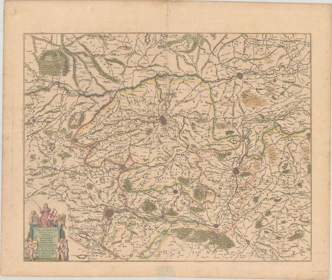
Subject: Southern Belgium & Northern France
Period: 1639 (circa)
Publication:
Color: Hand Color
Size:
19.9 x 15.9 inches
50.5 x 40.4 cm
Download High Resolution Image
(or just click on image to launch the Zoom viewer)
(or just click on image to launch the Zoom viewer)