Catalog Archive
Auction 202, Lot 445

"Afbeeldinge vande Vermaerde Seehaven ende Stadt van Duynkercken... / Pourtraict de la Fameuse Ville et Havre de Duynckercke...", Blaeu, (Family)

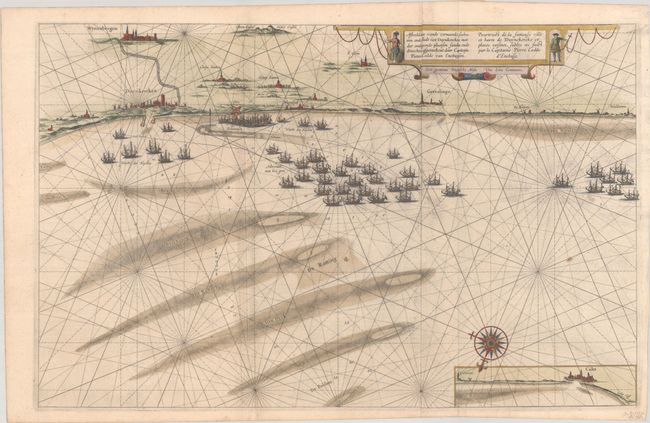
Subject: Northern France

Period: 1642 (published)

Publication: Toonneel des Aerdrycks

Color: Hand Color

Size:
27.3 x 17.4 inches
69.3 x 44.2 cm
Download High Resolution Image
(or just click on image to launch the Zoom viewer)

This large sea chart depicts the coast at Dunkerque oriented with north at bottom by an elegant compass rose. Bergues (Wynoxbergen) and a few other cities are located along the coast and the banks and shoals are shown in the sea where a large fleet of warships is gathered. There is a small inset of the coast near Calais at bottom. The map was prepared by Capt. Pieter Codde of Enkhuizen. Dutch text on verso. Printed on two joined sheets, as issued.

References: Van der Krogt (Vol. II) #3295:2.

Condition: B+

A dark impression on bright sheets with light printer's ink residue, a couple of small stains, an extraneous crease at right, and a 2" tear at bottom that has been professionally repaired on verso.

Estimate: $325 - $400

Unsold

Closed on 2/12/2025

Archived