Catalog Archive
Auction 202, Lot 447
"Le Duche et Gouvernement de Normandie Divisee en Haute et Basse Normandie en Divers Pays; et par Evechez, avec le Gouvernement General du Havre de Grace", Sanson/Jaillot
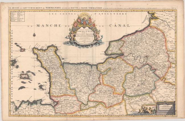
Subject: Northwestern France
Period: 1695 (dated)
Publication:
Color: Hand Color
Size:
34.9 x 22.3 inches
88.6 x 56.6 cm
Download High Resolution Image
(or just click on image to launch the Zoom viewer)
(or just click on image to launch the Zoom viewer)