Catalog Archive
Auction 202, Lot 450
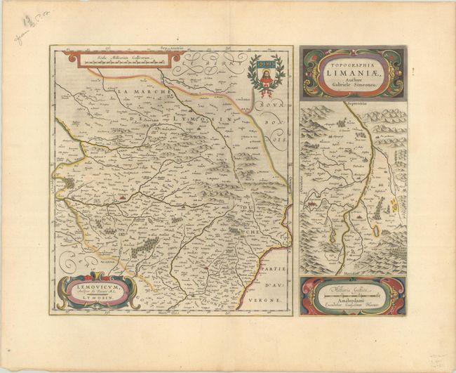
"Lemovicum, Auctore Jo. Faiano M.L. Lymosin [on sheet with] Topographia Limaniae, Auctore Gabriele Simeoneo", Blaeu, Willem
Subject: Central France
Period: 1645 (circa)
Publication:
Color: Hand Color
Size:
19.8 x 15 inches
50.3 x 38.1 cm
Download High Resolution Image
(or just click on image to launch the Zoom viewer)
(or just click on image to launch the Zoom viewer)