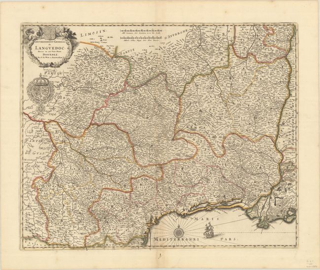
Subject: Southern France
Period: 1691 (circa)
Publication:
Color: Hand Color
Size:
21.5 x 17.4 inches
54.6 x 44.2 cm
This is an attractive map of southern France showing the Languedoc region along the border with Spain and the Mediterranean. It includes the French Riviera from Narbone to just east of the mouth of the Rhone. The map is densely engraved with hundreds of tiny towns and is decorated with a sailing ship, compass rose, a title cartouche, and a fine coat of arms. A crack in the plate is visible at bottom center.
References: Carhart #P12.3.
Condition: B+
A nice impression with contemporary outline color on a bright sheet with the watermark of Pieter van de Ley. There is light toning along the centerfold and two short cracks that have been professionally repaired on verso.