Catalog Archive
Auction 202, Lot 482
"Celeberrimi Fluvii Albis Nova Delineatio Auctore Christiano Mollero [on sheet with] Viris Magnificis Amplissimis et Consultissimis Domis. Consulibus et Senatoribus, Florentissimae Reipublicae Hamburgensis...", Blaeu, Willem
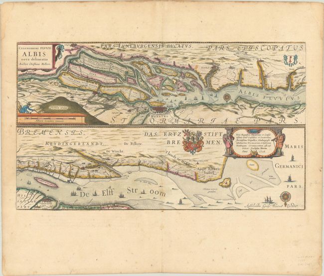
Subject: Northwestern Germany, Elbe River
Period: 1628 (dated)
Publication:
Color: Hand Color
Size:
20.9 x 12.3 inches
53.1 x 31.2 cm
Download High Resolution Image
(or just click on image to launch the Zoom viewer)
(or just click on image to launch the Zoom viewer)