Catalog Archive
Auction 202, Lot 490
"Praefecturae Altenburgensis et Ronneburgensis Earumque Vicinia Serenissimo Duci Saxo Gothano...", Seutter, Matthias
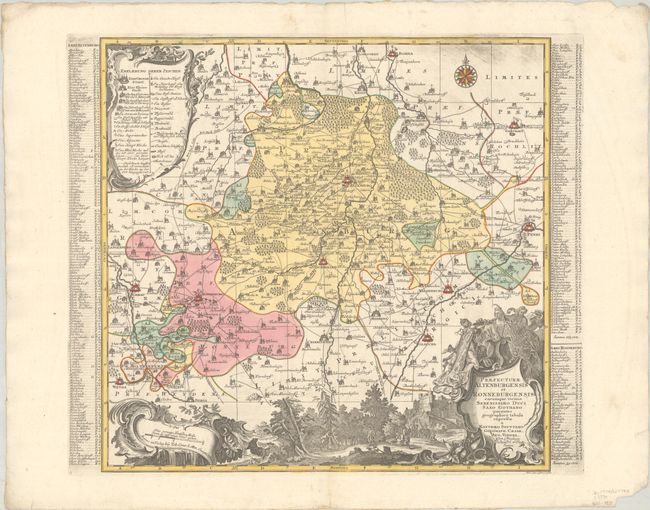
Subject: Eastern Germany
Period: 1730 (circa)
Publication:
Color: Hand Color
Size:
20.3 x 19.5 inches
51.6 x 49.5 cm
Download High Resolution Image
(or just click on image to launch the Zoom viewer)
(or just click on image to launch the Zoom viewer)