Catalog Archive
Auction 202, Lot 492
"S.R.I. Circulus Sueviae Continens Ducatum Wirtenbergensem Aliosq Status et Provincias Eidem Circulo Insertas Novissime Propositus & Exhibitus", Homann, Johann Baptist
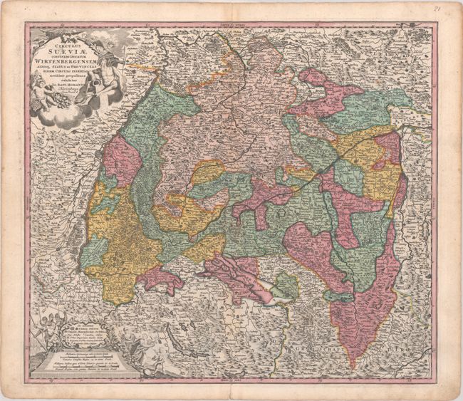
Subject: Southwestern Germany
Period: 1716 (published)
Publication:
Color: Hand Color
Size:
22 x 19.3 inches
55.9 x 49 cm
Download High Resolution Image
(or just click on image to launch the Zoom viewer)
(or just click on image to launch the Zoom viewer)