Catalog Archive
Auction 202, Lot 494
"S.R.I. Bavariae Circulus atq Electoratus tam cum Adiacentibus quam Insertis Regionibus Accuratissime...", Visscher, Nicolas
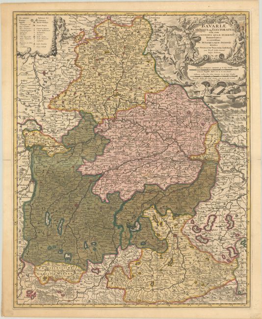
Subject: Southeastern Germany
Period: 1698 (circa)
Publication:
Color: Hand Color
Size:
18.1 x 22.6 inches
46 x 57.4 cm
Download High Resolution Image
(or just click on image to launch the Zoom viewer)
(or just click on image to launch the Zoom viewer)