Subject: Cartographic Miscellany, United States
Period: 1939 (circa)
Publication:
Color: Printed Color
Size:
8 x 4 inches
20.3 x 10.2 cm
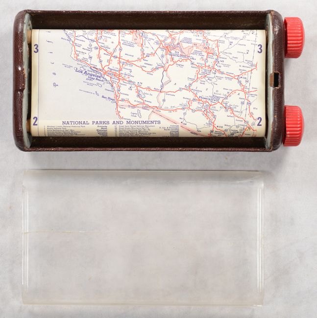
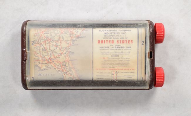
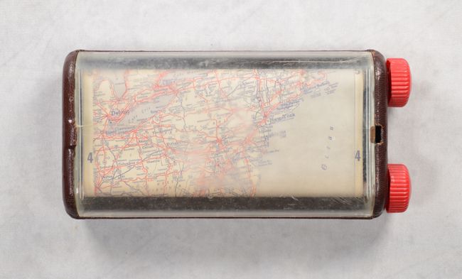
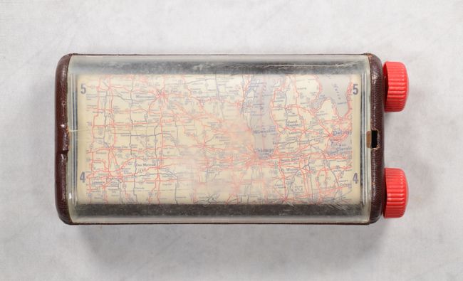
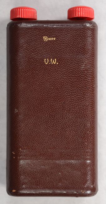
This unusual highway map of the United States is presented in 4 vertical segments based upon time zone (Eastern, Central, Mountain, and Pacific) and identifies paved, improved, graded, and dirt roads. Distances and drive times between various points are also noted throughout. The user can scroll to any location on the map by turning the plastics knobs up or down on the right side of the case. The map is housed in a metal case with leather padding and a protective plastic shield. Published by the H.M. Gousha Company for Logansport Foundry Industries, Inc.
References:
Condition: B
The map is clean and bright with a small tear at top left where the top edge attaches to the wooden roller. Rollers and knobs are fully functional. The clear plastic shield has a 2.5" crack at left and some surface abrasions. Surrounding leather case has minor wear.