Catalog Archive
Auction 202, Lot 523
"Les Etats de la Couronne de Pologne, sous les quels sont Compris la Grande et la Petite Pologne, le Grand Duche de Lithuanie, les Prusses et la Curlande...", Fer, Nicolas de
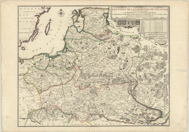
Subject: Eastern Europe & Baltic
Period: 1716 (dated)
Publication: Atlas ou Recueil de Cartes Geographiques...
Color: Hand Color
Size:
23.4 x 18.6 inches
59.4 x 47.2 cm
Download High Resolution Image
(or just click on image to launch the Zoom viewer)
(or just click on image to launch the Zoom viewer)