Catalog Archive
Auction 202, Lot 529

"Partie Occidentale de l Empire de Russie en Asie Contenant les Provinces de Berezowskoy, Magajeskoy, Wiatka, Solkamskoy, Pelymskoy ... le Gouvernement d'Astrachan...", Robert de Vaugondy/Santini
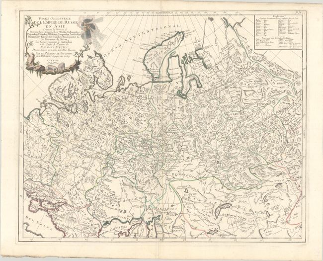
Subject: Russia

Period: 1784 (circa)

Publication: Atlas Universel

Color: Hand Color

Size:
23.3 x 18.8 inches
59.2 x 47.8 cm
Download High Resolution Image
(or just click on image to launch the Zoom viewer)

This finely engraved map covers the western part of the Russian Empire into Siberia. It extends from Poland east to Irkurkoy, Ilimskoy, and the R. Tunguska, and south to include part of the Black and Caspian seas. The map provides topographical details, watershed, forests, and cities. The decorative title cartouche features a trio of wind heads and two bears. At top right a key translates Russian and Tartarian terms used on the map into French. This is the Santini/Remondini issue of the classic Didier Robert de Vaugondy map.

References: Rumsey #12039.113.

Condition: A

A nice impression with contemporary outline color and later color in the cartouche, on a sheet with an "R" watermark. There is a hint of soiling, mostly confined to the margins.

Estimate: $120 - $150

Unsold

Closed on 2/12/2025

Archived