Subject: Novaya Zemlya, Russia
Period: 1758 (circa)
Publication: Histoire Generale des Voyages
Color: Hand Color
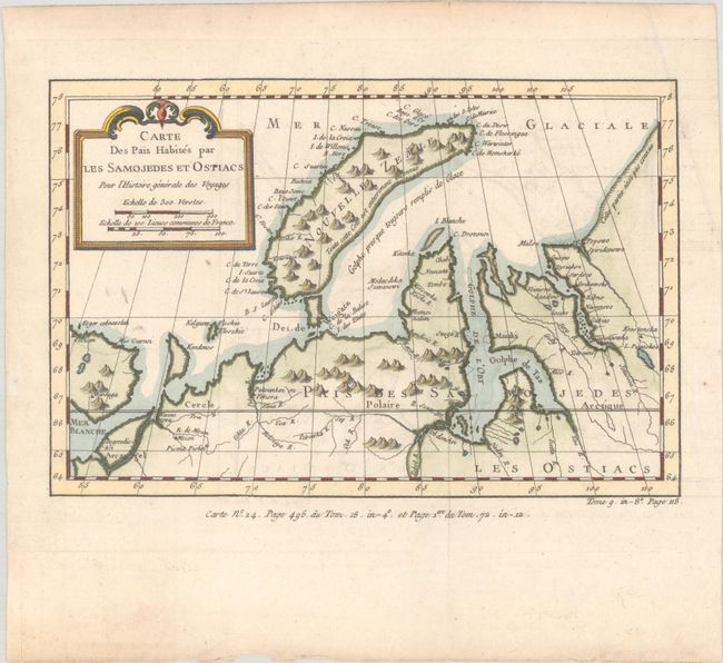
A. Carte des Pais Habites par les Samojedes et Ostiacs pour l'Histoire Generale des Voyages, circa 1758 (9.6 x 6.4"). This map shows much of the Arctic coast of Russia from about Arkhangelsk east well beyond Dikson, and centered on the island of Novaya Zemlya, here named Nouvelle Zemle. There is modest detail in this largely unexplored region. Condition: A nice impression on watermarked paper with faint offsetting, a minor extraneous crease at top right, and a tiny hole in the right blank margin.
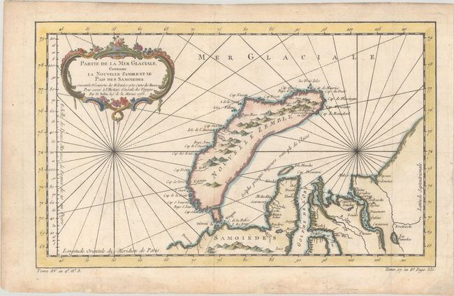
B. Partie de la Mer Glaciale, Contenant la Nouvelle Zemble et le Pais des Samoiedes Suivant les Decouvertes des Hollandois et les Cartes des Russes..., dated 1758 (13.8 x 8.4"). This map features Novaya Zemlya, the island off northern Russia in the Barents Sea, and extends to about Dikson in the east. Embellished with rhumb lines and a decorative cartouche. Condition: A sharp impression issued folding on a watermarked sheet with minor offsetting, a few minor spots, and light dampstaining in the bottom blank margin.
References:
Condition: A
See description above.