Catalog Archive
Auction 202, Lot 607
"Carte des Douze Tribus d'Israel", Bonne/Lattre
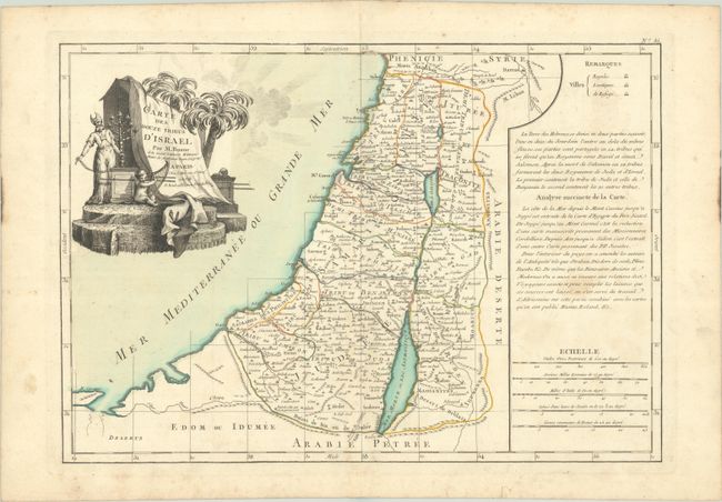
Subject: Holy Land
Period: 1762 (published)
Publication: Atlas Moderne
Color: Hand Color
Size:
17.4 x 12.2 inches
44.2 x 31 cm
Download High Resolution Image
(or just click on image to launch the Zoom viewer)
(or just click on image to launch the Zoom viewer)